The first ever survey of the seabed off Ireland reveals startling results.
The £25 million National Seabed Survey is attempting to find out just exactly what exists under water around Ireland.
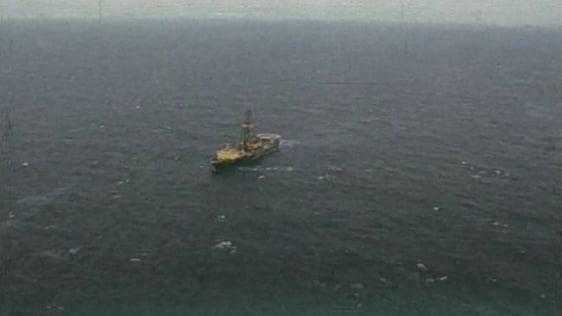
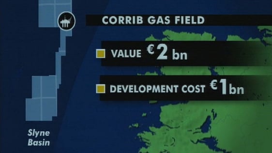
The survey vessel, SV Bligh, charted the seabed deep under the water, compiling the date on board which displayed evidence of major earthquakes and landslides. Cold water reefs and huge underwater caverns and canyons. The survey has also revealed essential data for gas and oil exploration with considerable commercial potential.
There's ten times more of Ireland off shore than there is on land.
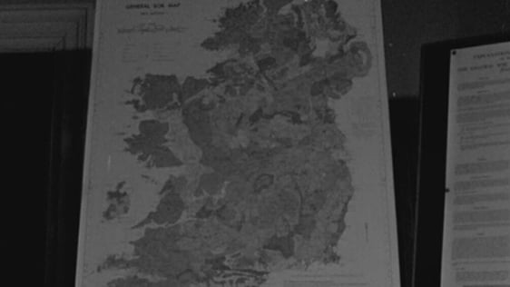
Director of Geological Survey of Ireland Dr Peadar McArdle explains that prior to the survey we have very little knowledge of the seabed.
We knew more about the surface of the planet Mars than we did about our own seabed area.
Companies engaged in oil and gas exploration are now queuing up to buy the data collected during the survey.
Minister of State at the Department of Enterprise Joe Jacob TD says that this kind of research is all about marine science and renewable energy.
The survey will continue for another four years.
An RTÉ News report broadcast on 22 July 2001. The reporter is Tom MacSweeney.