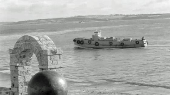
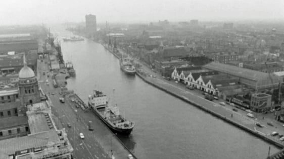
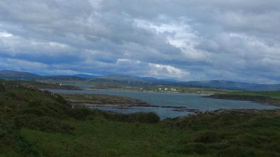
Despite being an island nation, Ireland's marine charts are out of date and a modern survey is long overdue.
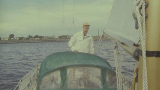
The current charts were drawn in the middle of the nineteenth century by the British Admiralty. Shipping has changed vastly since then. Ireland's archaic marine charts are no longer fit for purpose, as they do not facilitate safe navigation for modern ships, explains an expert in this field Mr Dixon,
The charts which were good enough then are not good enough now.
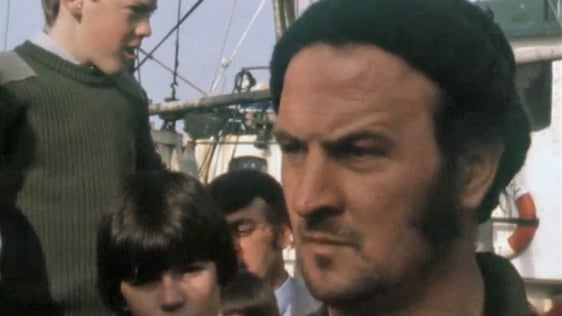
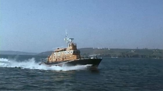
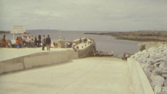
One captain in Dublin Port who spoke to RTÉ News believes that while Dublin and the port of Cork are managing for now, safe navigation into and out of smaller ports around the country is in a precarious position as,
They haven’t got...proper harbour authorities there to carry out proper survey work.
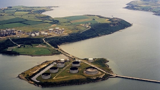
A comprehensive hydrographic survey and creation of up to date charts for the Irish coastline will not only boost trade believes Mr Dixon, but also is necessary if Ireland is to explore and develop the waters that surround it.
The need for updating is becoming urgent.
An RTÉ News report broadcast on 27 June 1971. The reporter is Tom MacSweeney. Some sections of the footage shown here are mute.