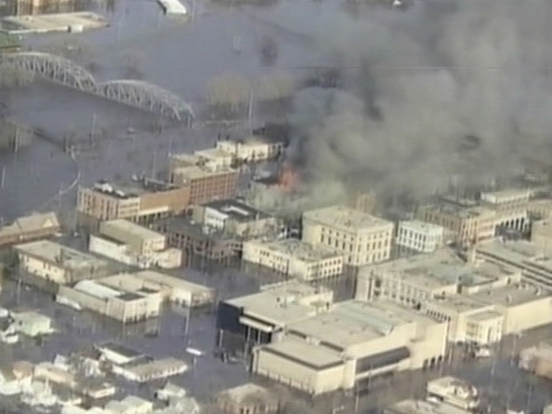
Hundreds of residents of North Dakota and Minnesota have been evacuated as the Red River rose to its highest level in 112 years in the key wheat and sugar beet growing region.
The Red River topped its record of 12.2 meters set in 1897 in Fargo yesterday.
The river is expected to crest by the end of today at 12.8 meters.
‘In terms of natural disasters that can strike this country, floods are just the worst, at least in my experience,’ US Agriculture Secretary Tom Vilsack said.
The Red River flows north from southeast North Dakota into Canada's Lake Winnipeg, forming the border between North Dakota and Minnesota.
Fargo-Moorhead, with a metropolitan population of 175,000, is the largest city in the US side of the valley.
Hundreds of people have been forced to evacuate two areas of Fargo, a city spokesman said.
Emergency officials have evacuated at least 100 homes near the dike crack and moved hundreds living near the seepage locations, including a seniors residence.
In Moorhead, Fargo's twin city in Minnesota, state law does not allow mandatory evacuations, but the city advised 2,663 households to leave.
Fargo Mayor Dennis Walaker said the dikes, which are mostly 43 feet high, just a foot higher than the forecast crest, will be sufficient.
But the unprecedented crest is adding a feverish tone to sandbagging efforts.
The Red River Valley produces a large percentage of the US spring wheat crop and more than half of the sugar beets grown in the US.