

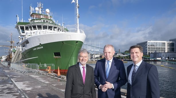
The Government is to extend funding to allow the Marine Institute's research vessel, RV Tom Crean, to continue its work mapping the seabed around the coast.
The research project, known as INFOMAR, aims to map an area that is 10 times the size of the landmass of Ireland, or just under one million square kilometres.
INFOMAR has a projected total cost of €80m.
This morning, Minister of State Timmy Dooley announced that the Government has sanctioned the final €11.5m to allow for the mapping of the seabed around the country to be completed.
The Marine Institute says the investment enables Ireland to advance key objectives in the delivery of national policy priorities, such as marine resource management, marine protection, climate action and offshore renewable energy development.
INFOMAR is a joint venture between Geological Survey Ireland and the Marine Institute.
The Marine Institute says the alignment of scientific capability with policy development ensures that the country's marine resources are managed in a sustainable and strategic way.
"What we are seeing today is the power of joined-up thinking, where investment in marine science directly enables Government to deliver on its priorities," said Dr Rick Officer, CEO of the Marine Institute.
"Our research vessels and programmes like INFOMAR provide foundational data and evidence that support priorities such as resource sustainability, biodiversity protection and offshore renewable energy. This is about ensuring Ireland's ocean is managed sustainably, based on the best available science, for the benefit of society, the economy and the environment.
Welcoming today's announcement, Manager of Advanced Mapping Services at the Marine Institute Thomas Furey said: "INFOMAR has fundamentally transformed Ireland’s understanding of its seabed, delivering real and lasting benefits across biodiversity protection, marine planning, and economic development.
"The extension of this programme represents a strategic investment in Ireland’s future, enabling us to move from mapping our seabed to actively managing it.
"By building a richer, time-based and integrated ocean data system, INFOMAR will underpin sustainable fisheries, stronger marine protection, and the responsible expansion of offshore renewable energy, ensuring Ireland remains a global leader in ocean knowledge and stewardship."
The INFOMAR programme commenced in 2006 as a successor to the National Seabed Survey. Together, they set out to map 880,000sq.km of the coastal area and Continental Shelf around Ireland.
The shallowest 125,000sq.km - the most challenging area - remains.
The Department of Climate, Energy and the Environment has said once it is completed, Ireland will become the first country in the world to have mapped all of its offshore territory.


