The Defence Forces have put 400 hundred soldiers on standby to help local authorities, as flood preparations continue in coastal regions in advance of a storm forecast to hit the country tomorrow night and on Monday morning.
Aircraft are also at the ready if they are required.
Coastal towns and cities remain on flood alert as the storm heads towards the south and west of the country.
Early warning flood alerts have been issued in Dublin, Waterford, Cork, Clare and Galway.
Dublin City Council has put in place a flood contingency plan and has said car parks on the seafront at Clontarf and Sandymount will be closed from tomorrow until Monday evening.
The Council has advised motorists not to leave cars in these areas, as they may be at risk from flooding, due to wave action.
Met Éireann says its full impact will probably not be felt until Sunday afternoon when the west and mid-west will be hit by heavy rain and high winds.
In Galway, the city council says that the biggest threat of flooding will come from Sunday's 5pm high tide.
Emergency services in both counties will remain on standby throughout today.
Met Éireann has issued an early notice of potential severe weather on Sunday night into Monday.
A deep low pressure centre is expected to move down across Ireland during Sunday night, clearing away slowly during Monday.
This weather system has the potential to bring some severe weather to the country.
Rainfall totals are likely to reach 25-30mm in places during Sunday and Monday.
Met Éireann says that while not excessive, this rain may lead to some localised flooding on roads.
The forecasters say that the strongest winds associated with this weather system are likely to be well to the west of Ireland.
However, if the track of the low pressure is further east than currently expected these very strong winds may possibly affect our west coast.
The principal dangers from the weather system will be due to very high seas off the southwest and west coast (waves approaching 9m) and coastal flooding due to a combination of high tides, very low pressure, storm surge and onshore winds, Met Éireann says.
The danger period extends through Sunday night and, for the east coast, much of Monday also.
AA Roadwatch has appealed to drivers to take particular care on the roads between now and Monday and has warned that crosswinds are likely to be a particular hazard.
The Irish Water Safety Association has urged motorists not to attempt to drive through heavily flooded roads especially in the vicinity of rivers.
It says there have been many tragic drownings in recent years when cars were swept away by swift-flowing flood waters.
The Association has also asked people to stay away from flooded areas.
The Defence Forces have placed troops and equipment on standby around the country to assist if requested.
The Office of Public Works has information and advice on what to do if your home is at threat from flooding.
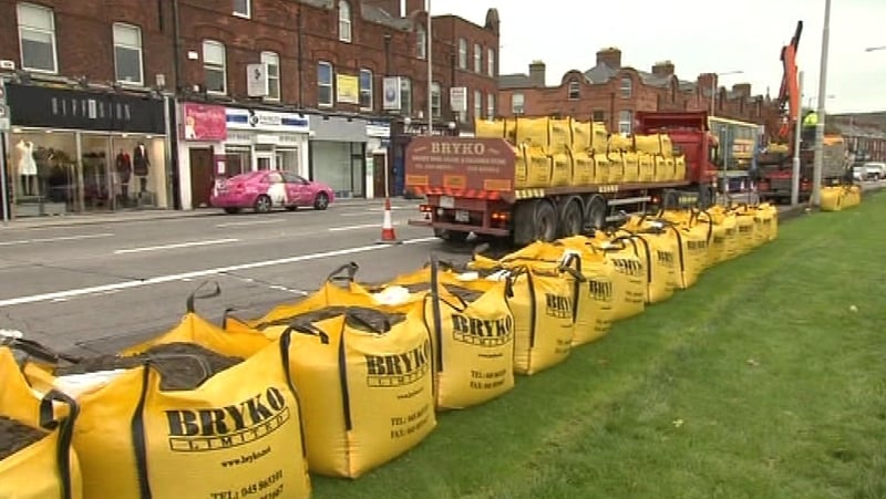
Limerick City Council Crisis Management Team as a precautionary measure is placing sand bags at vulnerable points along the river quays in the city centre.
The council is advising residents and business in the area to take precautionary measures in respect of their own property.
Members of the public with immediate concerns regarding rising water level should contact Limerick City Council's Emergency Number Tel: 061-417833.