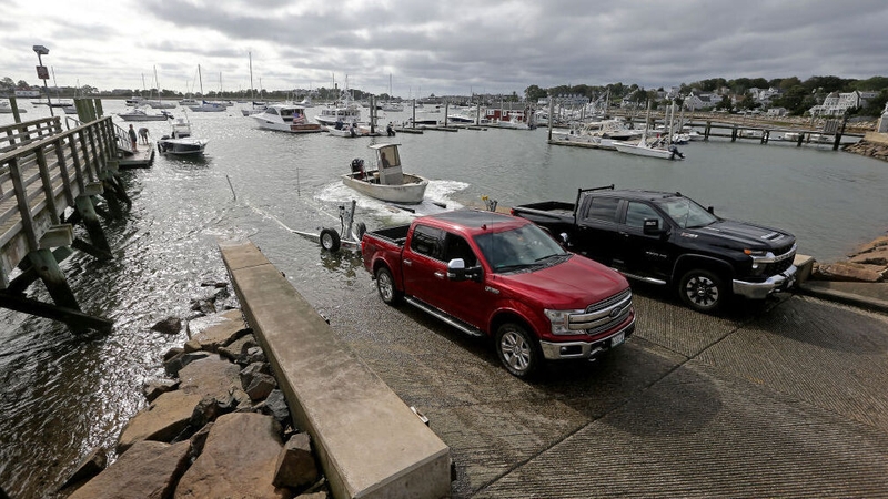
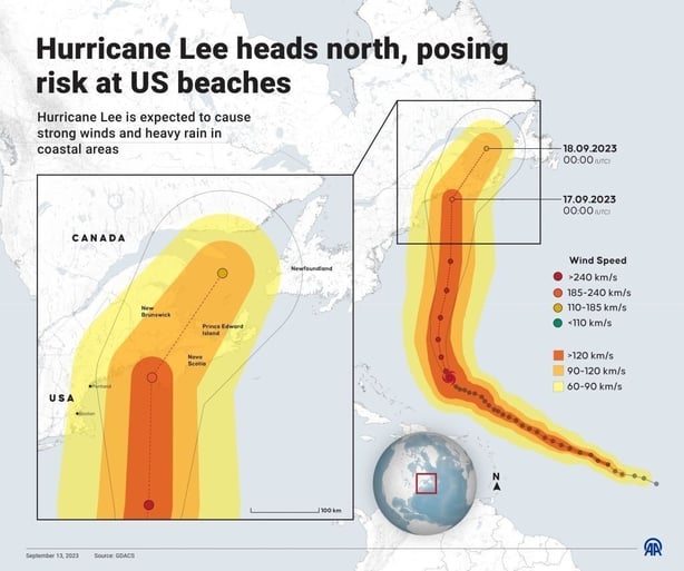
After churning for more than a week over the Atlantic Ocean, Hurricane Lee as closed in on New England and Atlantic Canada, and is likely to make landfall as a tropical storm with drenching rains, powerful winds and a dangerous storm surge.
The Canadian Hurricane Center projected Lee would make landfall in Nova Scotia some time after 7pm Irish time or perhaps later in New Brunswick with winds below hurricane force.
The potential path could take the storm right into the Bay of Fundy, which separates the two provinces and has one of th ehighest tides in the world, with the difference between high and low tide as much as 12m or 16m at the head of the bay. Bands from the storm could still be over the bay during a high tide early tomorrow morning.
The US National Hurricane Center issued a tropical storm warning for hundreds of miles of coastline from Massachusetts to Nova Scotia, affecting some nine million people.
Surges of 30cm to 90cm are expected for much of New England, according to the National Hurricane Center.
Lee is also expected to generate rainfall of 5cm to 12.5cm, and tropical force winds were projected for coastal areas starting tomorrow night.
In anticipation, the administration of US President Joe Biden issued an emergency declaration for Maine, providing federal assistance for the state ahead of the storm.
"We encourage all of those in the path of this large and dangerous storm to remain alert," White Press Secretary Karine Jean-Pierre told a press briefing.
Lee has been churning as a large hurricane over the Atlantic for more than a week, briefly threatening Bermuda but mostly harmless for anyone on land.
By last night, the storm was packing sustained winds of close to 130km/h and "expected to be a very large and dangerous storm when it reaches eastern New England and Atlantic Canada," the National Weather Service said.
This marks the second year in a row that such a powerful storm has reached Canada after Fiona ripped into eastern Canada a year ago.