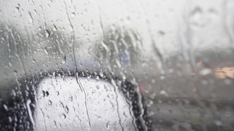
Ireland has had 111% of its long-term average rainfall for winter, according to a Met Éireann climatologist.
Speaking on RTÉ's Morning Ireland, Paul Moore said that while there was some regional variation, many weather stations were "well above" average.
"The south and the east and parts of the midlands have been a lot wetter than the north west. There's actually some places in the north west, like in Donegal, Finner and Malin Head have only had 79% of their long-term average, in Belmullet it's about in the 80s," he said.
"But if you look at the stations in the east - Phoenix Park, Dublin Airport, Dunsany in Co Meath - they're all well above. The two in Dublin and Johnstown Castle have over 170% so far of their winter long-term average."
Mr Moore said it was the wettest start to the year on record for those four stations.
He said Valentia has had some rain every day this year so far, with most stations having more than 60 rain days and 12 stations having more than 70 rain days for the winter overall.
He said more rain will arrive on Sunday and Monday, but it is "a bit far ahead" to forecast more detail after that.
Rainfall amounts for next week, however, are forecast to be a little above the March average, especially across parts of the west, according to Met Éireann's Extended Range Forecast.
We need your consent to load this rte-player contentWe use rte-player to manage extra content that can set cookies on your device and collect data about your activity. Please review their details and accept them to load the content.Manage Preferences
The new system will instead focus on more specific locations.
Met Éireann says that the planned system will use polygons or shapes that will be used on maps to show affected areas instead of the current system where entire counties are issued with warnings.
The system will be "more relevant to communities" according to the Department of Housing, Local Government and Heritage, who said it "will provide clearer direction to those at risk and support more targeted emergency preparedness".
"This enhancement to our weather warning system is part of Met Éireann's overall work to improve weather services in Ireland," a spokesperson for Met Éireann said.
RTÉ Brainstorm: How will March's 'sudden stratospheric warming' affect our weather?