Significant accumulations of snow are possible on the east of the country by the end of next week, according to Met Éireann.
The forecaster says current indications suggest that on Thursday, rain, sleet and snow will move northeastwards over Ireland.
It will fall initially as sleet and snow with significant accumulations possible before it turns to rain as milder air moves up from the south.
There will be daytime temperatures of just 1C to 4C.
On Thursday night, sleet and snow will continue in Ulster and Leinster, while showers of rain will develop in the west and south.
Met Éireann says that on Friday it looks like there may be further falls of sleet and snow in parts of north Leinster and Ulster, with showers of rain further south.
Eventually the milder air will reach northern areas and the weekend will be less cold with a few showers.
Earlier in the week it will be very cold with wintry showers, mainly in eastern counties with sharp frost and ice at night.
On Monday night, showers of sleet and snow in the east will become more frequent and push further inland overnight.
Very cold with clear spells and lowest temperatures of -3C to 0C with a widespread sharp frost and icy patches under clearing skies.
Tuesday will continue very cold with further wintry showers of rain, sleet and snow feeding in from the east.
These will mainly affect the eastern half of the country, especially eastern coastal counties with moderate snow accumulations in places. It will be mainly dry further west with just isolated showers.
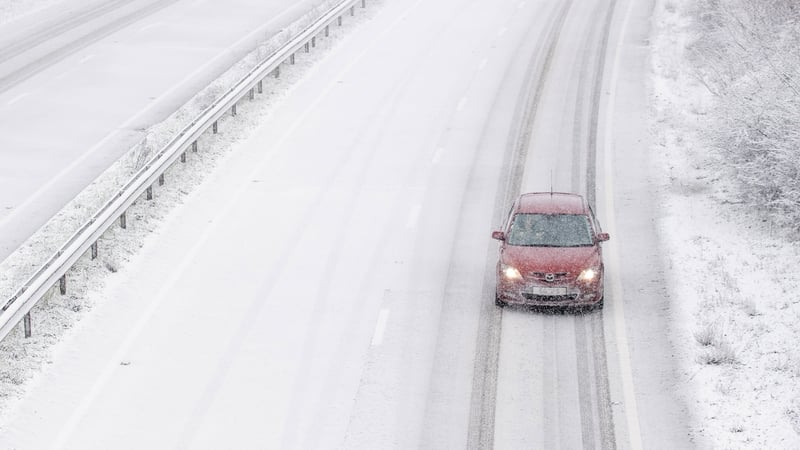
Meanwhile, the AA is encouraging motorists to reduce their speed if driving in icy areas or during falling snow and to be on the lookout for vulnerable road users such as cyclists and pedestrians.
Despite the lockdown, the AA is currently dealing with an average of over 350 breakdowns per day.
Heavy snow is set to bring disruption to southeast England and East Anglia as bitterly cold winds grip much of the UK.
Amber weather warnings of snow, which suggest there could be widespread travel disruption and possible power cuts in parts of London, the east and southeast of England, have been issued by the UK Met Office for today and tomorrow morning.
It will feel "bitterly cold" as strong easterly winds from Ukraine and the Black Sea area spill across the UK today.
But the chill will not be as bitingly sharp as it was with the Beast from the East in 2018, the Met Office said.
The forecasters have warned of "significant disruptive snowfall" and gale force winds in the southeast of England, with up to 30cm of snow possible in the Downs of Kent and the North Downs.
Various warnings for snow and ice across the eastern length of Britain are in place until Wednesday.
Heavy disruptive snow is expected in southeast England along with 40-50m/ph wind gusts that could cause snowdrifts from today through to tomorrow morning, according to the Met Office.
The UK Met Office said the Dutch have named the low-pressure system that will bring strong winds and widespread snow to southeast England today as Storm Darcy.