Motorists have been urged to drive with care with snow and ice forecast for the country.
Met Éireann has two Status Yellow warnings in operation.
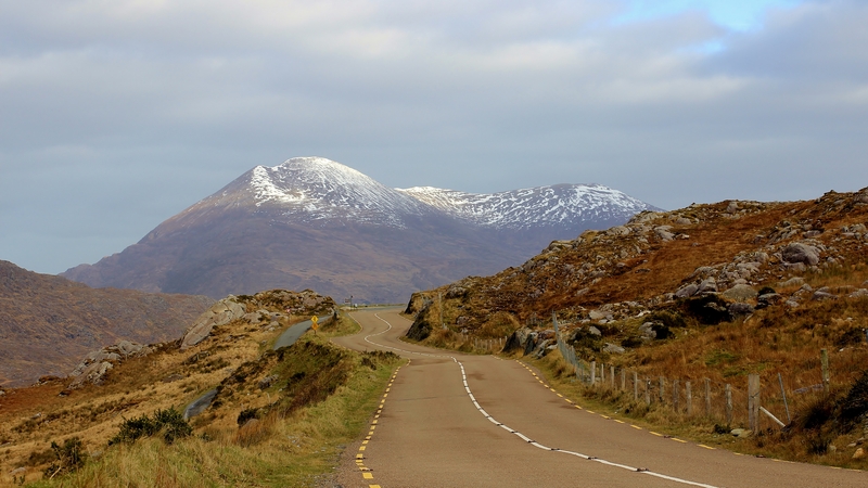
A nationwide snow and ice warning is in place, as wintry showers are forecast with up to 3cm of snow through to tomorrow.
Temperatures will drop as low as -1 tonight.
Met Éireann say showers will be most frequent in the west and north, with deeper snow on hills and mountains.
Snow has already fallen in places including Donegal, Sligo, Mayo, Roscommon, Longford, Galway and Meath.
AA Roadwatch says caution is needed on secondary routes in Co Meath.
Met Éireann also issued a Status Yellow wind warning for Donegal, Galway, Leitrim, Mayo, Sligo, Clare, Cork and Kerry.
It says winds will reach mean speeds of between 55 and 65km/h overnight and early tomorrow, with gusts between 90 and 110km/h at times.
Winds will be strongest in exposed northwestern and western coastal areas.
Meanwhile, the UK Met Office has upgraded its warning for Northern Ireland from Yellow to Amber, the second highest alert, as snow continues to fall across the North.
You wouldn't be long getting frost bit in Craigantlet! Serious note be careful out there. Thankfully nobody injured. pic.twitter.com/QaVJM1Lb45
— PSNI Holywood (@PSNIHolywood) January 28, 2015Parts of Belfast have had heavy snow and forecasters are predicting up to 5cm overnight in parts of the North.
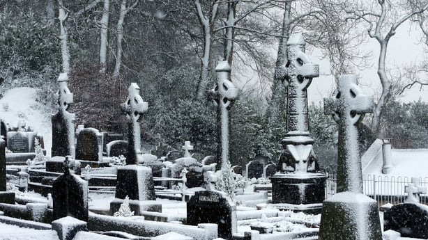
Snow-covered graves at St Joseph's Church in west Belfast
Northern Ireland Electricity said there could also be disruption to power supplies overnight if the bad weather continued.
Strong winds, sleet & rain. Please be careful while driving today. Be aware of vunerable road users, pedestrians, cyclists and motorcyclists
— An Garda Síochána (@GardaTraffic) January 28, 2015Share your weather images via yourphotos@rte.ie or @rtenews.