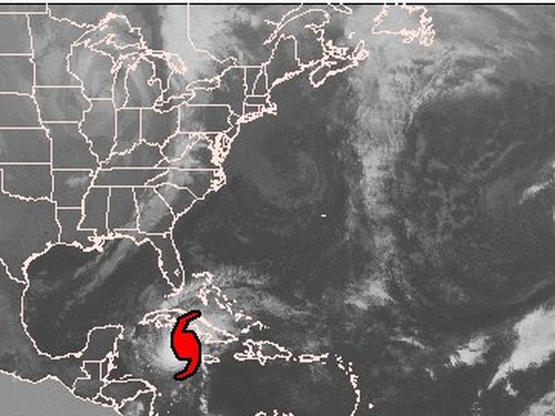
Hurricane Paloma is heading towards Cuba after caving in roofs and flooding roads in knee-high water in the Cayman Islands.
A Category 4 storm with 230kph winds, Paloma was expected to smash into southern Cuba with a ‘potentially catastrophic’ storm surge of 6 to 7.6 metres, the US National Hurricane Center said.
The second most powerful hurricane ever recorded in the month of November, Paloma's wall of water could rival that of 2005's Hurricane Katrina, which reached 8.5m and swamped storm levees protecting New Orleans.
Over a million people were ordered to evacuate in Cuba, with many staying in the more secure homes of others and the remainder in government shelters.
US forecasters had said Paloma should weaken into a Category 3 hurricane before landfall overnight. Instead, the hurricane strengthened slightly as it churned just 120km south-southwest of Camaguey, moving toward the northeast at 17kph.
The eighth hurricane of the 2008 Atlantic storm season pounded the Cayman Islands overnight.
The capital of the islands, one of the world's biggest offshore financial centers, appeared to have escaped the worst.
It appeared to be a different story, however, in the smaller islands of Cayman Brac, home to 1,800 people, and Little Cayman, home to around 100. The hurricane increased strength explosively as it passed over or near them.
Residents reported that Little Cayman was devastated. At least a dozen homes lost their roofs. The roof of an apartment complex caved in, trapping many people who had to be rescued.
On Cayman Brac, two hurricane shelters lost their roofs during the hurricane, according to reports. The storm surge swamped the island's air strip and left many areas under knee-deep water.

