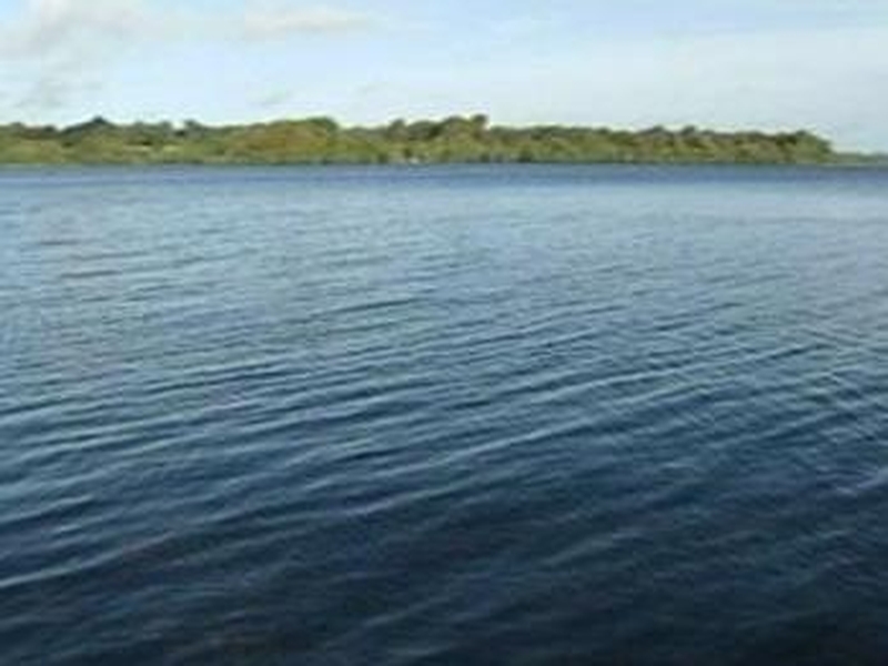
A conference is being held in Cork today to examine ways to improve the charting of Irish waters.
Marine charts of Irish coasts have not been updated since the 1800s, when the task was undertaken by Captain Bligh who was later involved in the Mutiny on the Bounty.
Today's conference of maritime experts will propose ways to update and improve the accuracy of those charts.
Based on those surveys by Captain Bligh, the present charts of Irish waters are drawn up by the British Admiralty.
While ports have updated their own charts, outside of their controlled waters, the accuracy and updating of Irish charts and the maps of our sea areas, have been debated for years.
Though the Geological Survey Office and the Marine Institute have been working on seabed surveys, it was only earlier this year that the Government set up the nation's first Hydrographic Office.
The conference at the National Maritime College will bring all sections of the marine community together with the aim of making proposals to the Hydrographic Office on how it should improve the charting of Irish waters.