Analysis: the weather event which is forecast to occur over the next week is seen as 'one of the most extreme of atmospheric phenomena'
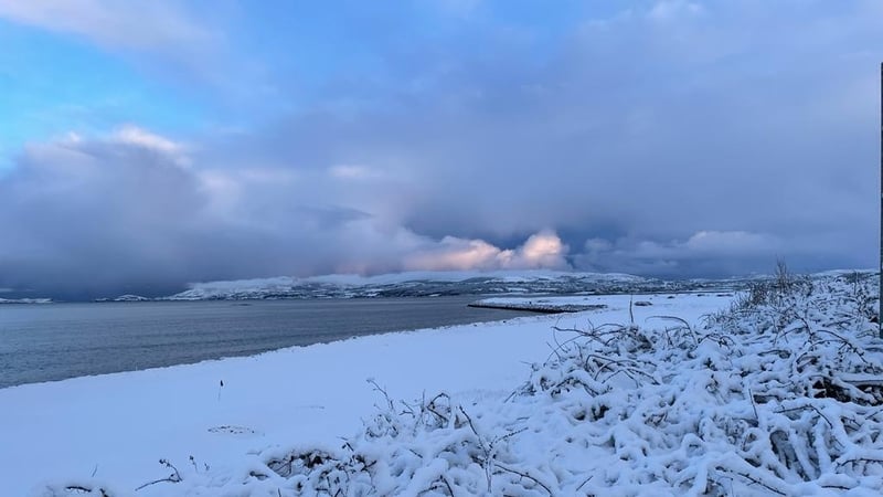
We are likely to be hearing a lot about a weather phenomenon called a 'sudden stratospheric warming' event that is forecast to take place over the next week. This means Ireland could experience heavy snow and freezing temperatures in the coming weeks, as a weather pattern that brought on the Beast from the East in 2018 begins to develop over the next week.
Paul Moore is a climatologist with Met Eireann and he explains that it usually takes two to three weeks for a sudden stratospheric warming event to have an effect. "Every sudden stratospheric warming is different and not all of them disrupt the tropospheric patterns below. For example, the event in January 2019 did not significantly disrupt the tropospheric patterns below and had no effect on the weather patterns over north-western Europe.
"The event in February 2018 caused major disruption to the tropospheric patterns below and led directly to the colder than average temperatures in Ireland during February and March 2018, including the very cold outbreak from the east culminating with storm Emma at the end of February and beginning of March 2018."
What is a 'sudden stratospheric warming' and how does it work?
Richard Hall is a Research Associate at the Climate Dynamics Group at the University of Bristol who studies these weather events. These are "some of the most extreme of atmospheric phenomena", he says.
"It can take a number of weeks for the impact of stratospheric warming to reach the surface, or the process may only take a few days", he says. "These events are hard to predict in advance. Some can only be predicted a few days ahead while others may be forecast from around two weeks before."
"The stratosphere is the layer of the atmosphere from around 10km to 50km above the Earth's surface, and sudden warming up there can lead to very cold weather over Europe and Siberia, with an increased possibility of snow storms.
We need your consent to load this rte-player contentWe use rte-player to manage extra content that can set cookies on your device and collect data about your activity. Please review their details and accept them to load the content.Manage Preferences
From RTÉ News, what happens when you fire a water gun in a polar vortex?
"In winter, the polar regions are in darkness 24 hours a day, and so the stratosphere over the north pole drops to -60℃ or even lower. The pole is surrounded by strong westerly winds, forming what is known as the polar vortex, a normal occurrence which develops every winter.
"However, about six times a decade, this vortex can break down in dramatic fashion. This can lead to temperatures over the pole increasing by up to 50°C over a few days, although temperatures are so low that they still remain below freezing. The average wind direction around the pole may also reverse, in which case a "sudden stratospheric warming" event has occurred.
"The disturbance in the stratosphere can then be transmitted downward through the atmosphere. If this disturbance reaches the lower levels of the atmosphere it can affect the jet stream, a current of air which normally snakes eastwards around the planet, dividing colder polar air from warmer air to the south.
We need your consent to load this rte-player contentWe use rte-player to manage extra content that can set cookies on your device and collect data about your activity. Please review their details and accept them to load the content.Manage Preferences
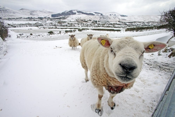
From RTÉ Radio 1's Morning Ireland in February 2018, Sean Hogan from the National Emergency Co-ordination Group on how they country planned to deal with the Beast from the East
"Where the jet stream crosses the Atlantic, it usually points towards Ireland and Britain, but sudden stratospheric warming can lead it to shift towards the equator. As air currents are temporarily rearranged, warmer Atlantic air is replaced by cold air from Siberia or the Arctic, and Europe and Northern Asia may experience unusually cold weather. This is what happened when the infamous "Beast from the East" passed through Europe in 2018, causing huge snowstorms and dozens of deaths."
Hall explains that around two thirds of stratospheric warming events have a detectable surface impact, up to 40 days after the onset of the event. "This is usually marked by lower than normal temperatures across Northern Europe and Asia, extending into western Europe, but with warmer temperatures over the eastern Canadian Arctic.
"It's not yet clear why some stratospheric warming events take weeks to impact the surface while others are felt days later, but it may be related to how the polar vortex changes around the onset of a warming event. The vortex can split into two smaller "child vortices", or it can be displaced from its more usual position centred near the pole, to being over northern Siberia."
Hall says that these events are "a natural atmospheric fluctuation, not caused by climate change. Even with climate change, these events will still occur, which means that we need to be adaptable to an even more extreme range of temperatures. "
"
According to Paul Moore at Met Eireann, these events "increase the likelihood for colder than average weather over northern and north-western Europe for several weeks to a few months after the event, but do not guarantee it.
"Global weather models can usually forecast, quite accurately, what is going to happen in the polar stratosphere one to two weeks in advance, so the upcoming event is highly likely. Forecasting how this event imprints on the tropospheric weather patterns below is much more difficult to resolve, especially prior to the event itself.
"For now, it is unresolved how the upcoming event will affect the weather patterns over north-western Europe. The timing for any impacts, if they do occur, will likely be towards the end of February or the beginning of March."