Analysis: the massive importance of agriculture in Ireland can be seen in how placenames recall past farming practices
By Jesko Zimmermann and Rob O'Hara, Teagasc
The Irish countryside we see today is the result of generations of farming communities clearing, ploughing, planting, grazing and draining our landscape for nearly 6,000 years. Our archaeological heritage tells the story of farming, from our earliest Neolithic field systems buried beneath the bogs of North Mayo, to the tens of thousands of early medieval ringforts we can still see today (enclosed farms) to the mills and creameries of more recent centuries.
This story has also been passed down from generation to generation in the names given to our towns and townlands. Our townland names were standardised in the 19th century, but historical sources show many trace their origins back several centuries. The townland system itself was already established when the Anglo-Normans arrived in the 12th century, and it's very likely many of their names were too. Most names are Gaelic, but some reflect our history of settlement by Vikings (Leixlip, Co. Kildare), Anglo-Normans (Moate, Co. Westmeath) and the English (Oakpark, Co Carlow).
Considering the massive importance of agriculture in the social and economic development of Ireland over its history, it is not surprising that our placenames recall past farming practices. Around 8% of the 60,000 or so townland names recorded today have an agricultural 'root', a part of their name that remembers a crop or animal, a field division or management practice that was characteristic of that place in the past.
A lot of names combine generic terms for either tilled or pasture fields (achadh) or paddocks (tuar), usually with some additional information on size, position or ownership; for example, Aghinaspick, Co Longford ("the bishop's field") or Cappaghmore, Co Tipperary ("the big tillage field"). We find references to different types of pasture, including meadows (cluain), summer pasture (buaile) or rough pasture (gréach).
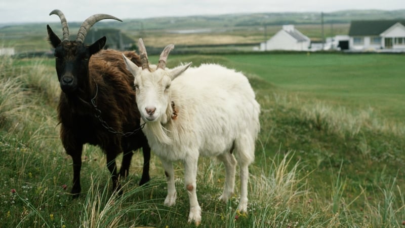
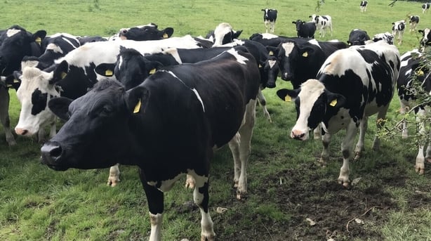
We see places which have linked husbandry of different livestock, most commonly to cows and cattle (bó, mart, ealach) or to calves (gamhan), heifers (colpa) and bulls (tarbh); for example, Clonelly, Co Sligo ("the cattle meadow") or Clononygowan, Co Offaly ("the calves meadow). Similar divisions were made for sheep (caera), goats (gabhar), kids (meannán), wethers (molt), horses (capall) and pigs (muc).
Our places also reference cultivation, for example, "the fort of the oats" (Lissacurkia) in Co. Roscommon or "the land of wheat" (Tullanacrunat) in Co. Monaghan, even a "hill of beans" (Ardnaponaire) in Co. Westmeath. Interestingly, farmers still give similar names to fields, "the big field", the "back field" etc., while surveys to collect names of fields will often list "the ass' meadow", "the bull’s paddock", "the sheep walk", and "the milking field". Many of which are old names that stuck and no longer describe current farming practices.
These placenames are an invaluable inheritance that give us a distant perspective on how on our ancestors used parts of their landscape. But what can they tell us about how we farm today? This was the question we had in mind when we produced a map of farming based on limited placename evidence and compared it with a map based on the extensive data sources we have at our disposal. It isn't possible to understand agricultural history based solely on placenames, but they can still provide some insights.
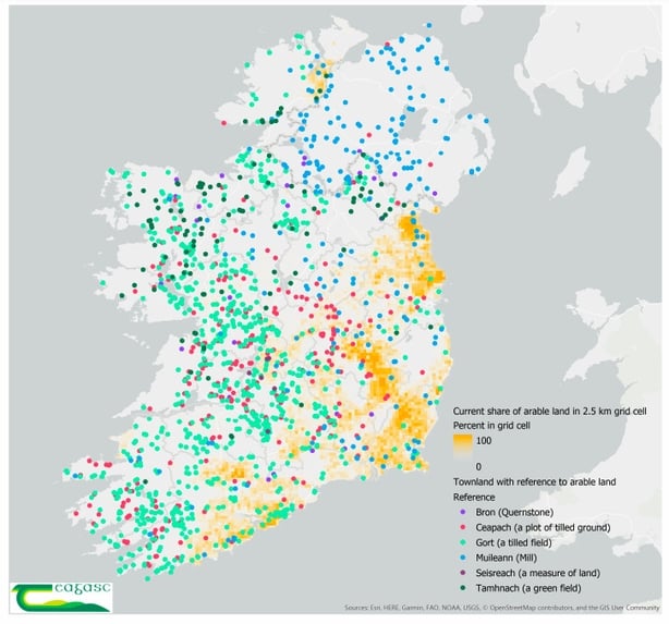
Our placenames show pastoral and arable terms interspersed across the land. Mixed farming, growing crops and keeping livestock was and still is the most common system of farming in Ireland. The densest concentration of agricultural references occurs in the mid-west region, while in Munster and Leinster there are fewer placenames relating to farming.
References to cereals or tillage in the eastern part of the country are relatively uncommon in placenames, an area where arable farming is now the dominant enterprise. A possible explanation might be that arable farming was so common even then, that they did play little role in naming. Extensive tracts of bogs or mountainous regions have fewer agricultural names, but they are not completely absent where summer pasture (booleying) would have been common.
Mapping former land use in this way is an interesting exercise, but it has limits. Agriculture was ubiquitous in the pre-industrial era, so an absence of specific farming-related references does not mean that agriculture was not being practised. Rather, there were other characteristics at a location that were considered more important when naming the place, usually some other physical characteristic such as topography, or land cover such as forestry. Forests make up to 20% of placenames and were also a highly managed part of the agricultural landscape as renewable resources for building and crafting materials as well as for forage.
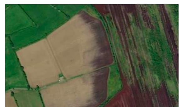
This does not diminish the scientific value of placenames, but they shouldn't be taken in isolation. Changing land use over time matters. Our ability to map these changes has improved immensely thanks to detailed records provided by farmers, and an abundance of satellite imagery. With this information, we are tackling pressing environmental issues such as climate change, water pollution and biodiversity loss. While we can map land use in great detail, we cannot convey the same sense of belonging and connectivity to the land that our placenames give us.
Dr Jesko Zimmermann is a Data Technologist in the Agrifood Business and Spatial Analysis Department at Teagasc. Dr Rob O'Hara is a post-doctoral researcher in the Agrifood Business and Spatial Analysis Department and the VistaMilk SFI Research Centre at Teagasc
The views expressed here are those of the author and do not represent or reflect the views of RTÉ