Rain warnings in place for parts of Ulster and Munster ahead of Storm Ciarán.
The storm was named by the UK Met Office yesterday, which has issued an amber rain warning for Antrim, Armagh and Down from 9pm last night until 9am today.
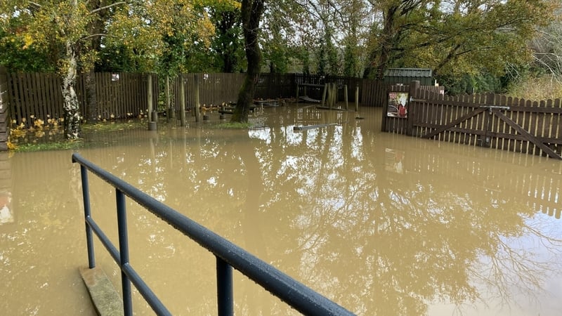
It said persistent heavy rain will lead to further flooding and transport disruption.
The UK Met Office has also issued a Status Yellow rain warning for Antrim, Armagh, Down, Tyrone and Derry in place since 10am this morning until midday tomorrow.
This yellow rain warning is expanded to the six counties of Northern Ireland from 9pm today to 9am Wednesday.
Met Eireann has issued a Status Yellow rain warning for Louth and Monaghan. The warning is in place from 5pm yesterday until 5am this morning.
Further south, a Status Yellow rain warning will come into place for Kerry from midday today to midday Wednesday.
Speaking on RTÉ's Drivetime, Siobhan Ryan, Meteorologist with Met Éireann, said there is a lot more rain to come.
"We have issued a Yellow warning for Louth and Meath as well, so that starts immediately at this moment in time until this morning.
"So, ahead of the Yellow rainfall warning in Kerry, we have a warning out for the northeast as well."
Cork City Council's Flood Assessment team met this morning for the fourth day in a row to review the forecasted "super spring tides" this evening that is expected to result in tidal flooding in low-lying areas of Cork city centre at high tide.
Diversions will be in place and road users are asked to travel with caution.
Motorists are advised that Wandesford Quay and Sharman Crawford Street will be closed from 5.30pm until after the tidal flood has receded.
Read more: Clean-ups after heavy rain causes flooding in south east
Storm Ciarán is due to pass close to the south coast of Ireland on Wednesday night.
Met Éireann said there will be heavy showers or longer spells of rain at times over Ireland today, tomorrow and Wednesday, with flooding likely in places, as soils are saturated and river levels are high.
Later Wednesday and on Thursday, Storm Ciarán will bring falls of heavy rain and strong winds.
Current indications suggest the heaviest rain and strongest winds will be in Munster and Leinster with flooding likely.
Met Éireann meteorologist Aoife Kealy said: "Further heavy showers on Monday will add to already high rainfall accumulations.
"Then, more widespread and potentially heavy rain on Tuesday will lead to a further deterioration in ground conditions and river levels.
"So, there will be an ongoing risk of localised flooding as we move into the new week."
This wet weather in the early days of this week is likely to exacerbate the impact of Storm Ciarán on Wednesday evening and Thursday.
Current indications suggest that the storm will track past the south coast on Wednesday evening and night before moving northeastwards through the Irish Sea and over the UK, Met Éireann said.
As it passes Ireland, the storm will bring a spell of very wet and windy weather, with heavy rainfall in places.
With already wet conditions preceding Storm Ciarán, there will be a heightened risk of flooding, with possible disruption from strong winds also.