Digital mapping specialist Esri Ireland said its system is now being used by Inland Fisheries Ireland and the sea angling community in Ireland to help safeguard fish populations and protect marine ecosystems.
Esri's ArcGIS system supports the Irish Marine Recreational Angling Survey (IMREC) which aims to estimate sea anglers' catches in Ireland.
Up to 250,000 recreational sea anglers are active along the 3,000km of Irish coastline every year.
Esri's Survey123 app enables anglers around Ireland to gather and upload real-time information from any device about the fish they catch and release.
This information is then automatically transferred to a shared repository, called ArcGIS Hub.
There it can be viewed by the anglers and monitored by Inland Fisheries Ireland to identify patterns in the species distribution, volumes and weight of fish caught as well as estimated catch rates.
Whether they are shore anglers, small boat anglers or charter boat anglers, each member has access to a personalised dashboard where they can track their own contributions and angling successes.
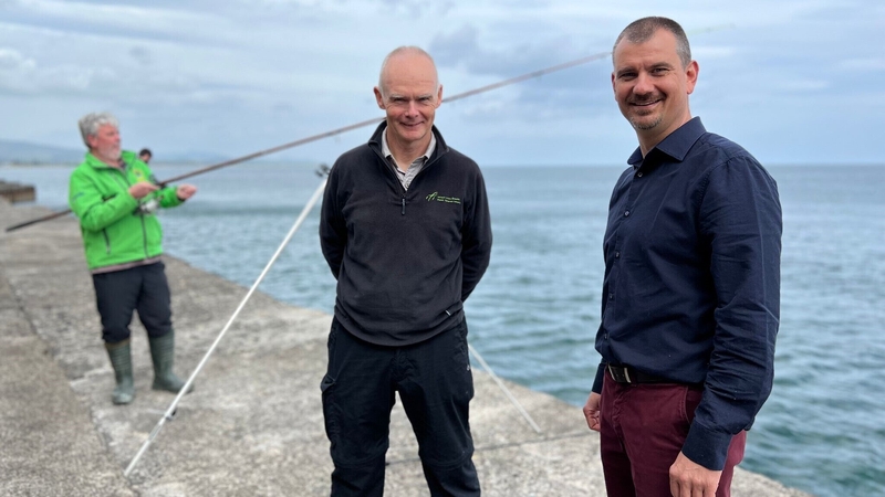
Schalk Van Lill, Customer Success Manager at Esri Ireland, said its GIS solution has provided Inland Fisheries Ireland with a feasible and affordable way to capture additional data to complement the other data collected for the EU.
"Citizen science like this provides broad spatial coverage all around the coastline of Ireland, enabling Inland Fisheries Ireland to efficiently comply with requirements. The solution can be easily scaled up to accept data uploads from more and more participants, allowing Inland Fisheries Ireland to expand the scheme over time," he said.
William Roche, Senior Research Officer at Inland Fisheries Ireland, said that ArcGIS will enable it to recruit anglers as citizen scientists and crowdsource the large volume of data that it requires for EU and national reporting.
"With more anglers collecting data, we will be able to build up a better picture of the state of fish stocks off Ireland's coast, particularly for anglers," he added.